About Texas Parcels
Making Texas Land Data Easier to Understand
Texas Parcels helps buyers, sellers, investors, and real estate professionals move beyond static land listings with richer parcel context, map-based insight, and a more practical way to evaluate Texas land.
Who We Are
Texas Parcels is a Texas-focused land marketplace and parcel intelligence platform built to make land easier to review, market, and understand.
The platform was created to solve a common problem in vacant land: too much important information is difficult to interpret quickly, compare consistently, or present clearly. Acreage, price, and a few photos rarely tell the full story. Buyers want to understand the physical and geographic context of a property. Sellers and brokers need a better way to communicate what makes a tract valuable, usable, or desirable.
Texas Parcels brings those needs together in one platform by combining listing visibility with standardized GIS and parcel intelligence.
What Texas Parcels Does
Texas Parcels turns raw parcel data into a more useful land intelligence experience.
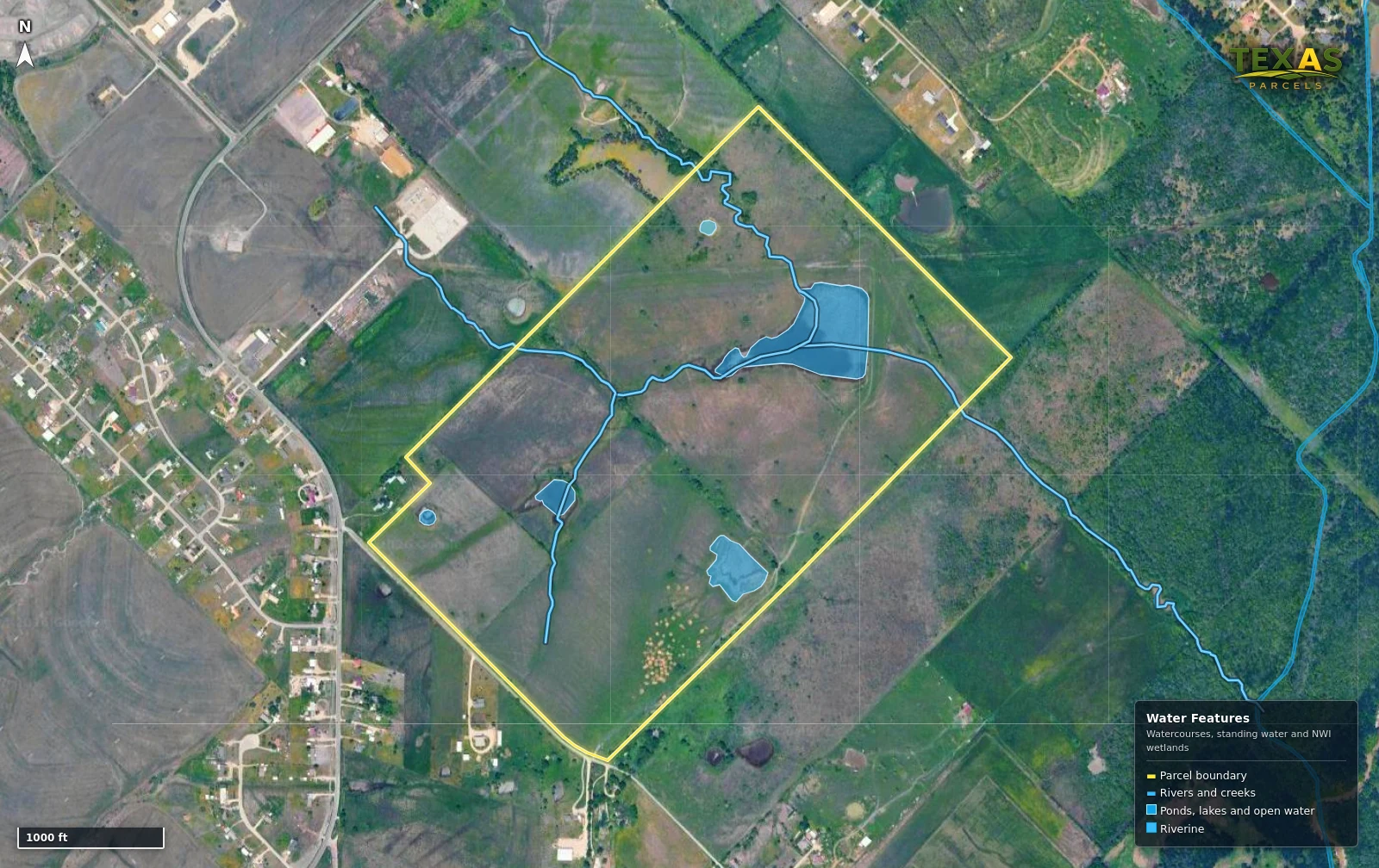
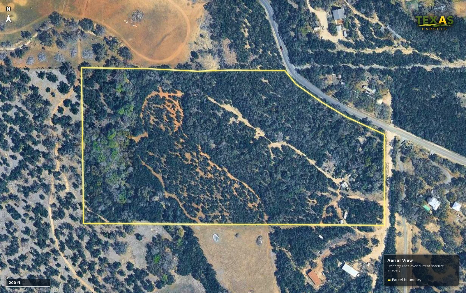
Instead of relying on static listing pages alone, the platform helps users review Texas land through mapped parcel context and property-specific geographic insight. This gives buyers a clearer understanding of the land before they inquire, while helping sellers and real estate professionals create stronger, more buyer-ready listings.
On the platform, users can:
- Explore Texas land listings with richer parcel context
- View parcel boundaries in a map-first format
- Review land characteristics that influence usability and desirability
- Understand properties through imagery, terrain, flood, water, and access-related context
- Present land more clearly through standardized and enriched listing workflows
Texas Parcels is designed to help land move from raw information to clearer decisions.
Platform Expertise
Texas Parcels specializes in combining property listings with GIS and parcel intelligence.
That means the platform is built around how land is actually evaluated — geographically. Rather than treating a parcel as just another listing record, Texas Parcels layers listing information with mapped property context so users can assess land more completely.
Based on the current platform, this includes support for parcel review through mapped layers such as:
This expertise helps transform basic property information into a more decision-ready land experience.
Our Data
Texas Parcels uses parcel, market, and GIS-related information to give users a clearer and more standardized understanding of Texas land.
Data shown on the platform may include information tied to sources such as:
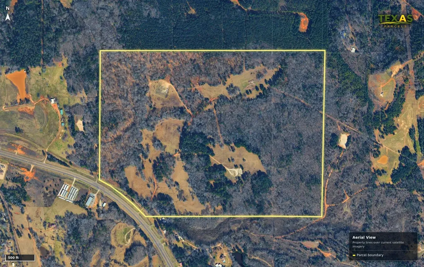
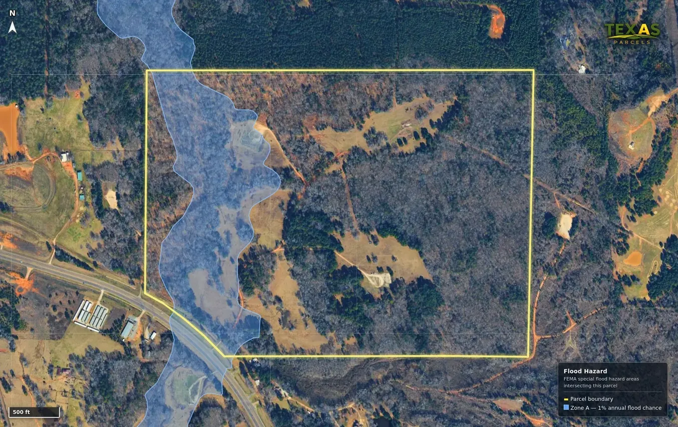
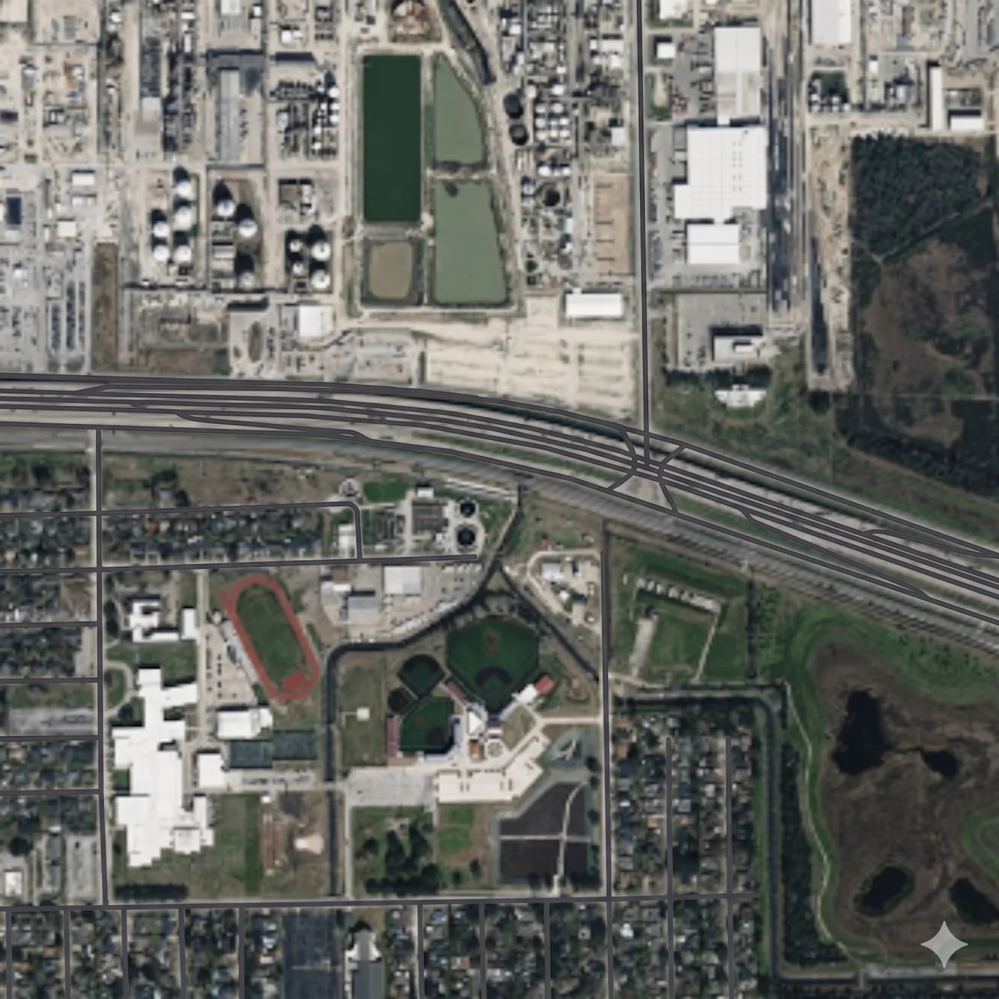
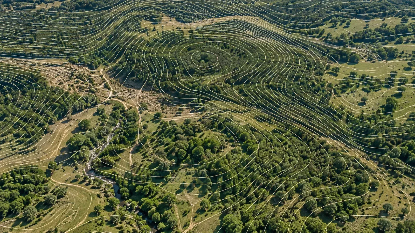
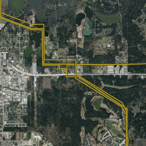
Texas Parcels uses these inputs to create a land-focused intelligence layer that helps users evaluate properties more efficiently and with better context.
How Our Data Works
Source Process GIS Analysis Property Intelligence
Texas Parcels transforms fragmented land-related data into a more practical property view through a structured workflow:
- 01
Source
Parcel, geographic, and market-related datasets are collected from authoritative and permitted sources.
- 02
Process
Data is cleaned, standardized, and organized so it can be used consistently across properties.
- 03
GIS Analysis
Spatial relationships are analyzed to connect parcel boundaries with land-relevant features and map context.
- 04
Property Intelligence
The final result is a clearer, more buyer-ready parcel experience that supports discovery, evaluation, marketing, and due diligence.
This process is designed to make Texas land easier to understand at scale.
Our Coverage
Texas Parcels is focused on Texas land and built around the geographic realities of the Texas market.
Based on current platform messaging, Texas Parcels references:
Texas counties
Texas-focused parcel mapping and GIS enrichment
A land-specific experience for buyers, sellers, investors, and real estate professionals
mapped layer types available on the platform
Data Freshness
Texas Parcels is designed to keep land and market information as current, useful, and relevant as possible.
- Market data is updated weekly
- User-listed properties are updated in real time
- Automated update workflows help ensure listing changes are posted and obsolete listings are removed
- GIS datasets are selected based on recency and relevance
- GIS source update frequency varies by provider, including real-time, annual, or other provider-defined schedules
Because Texas Parcels incorporates multiple data sources, freshness can vary by dataset. The platform’s goal is to provide users with the most relevant land intelligence available while continuing to improve update speed over time.
Texas Parcels is also working toward making more market data available in real time.

Our Team
Texas Parcels was founded by Nathan Morris, a Tarrant County-based Texas land investor who has worked full time in land investing since 2018.
The platform grew out of Nathan’s need to better understand the land attributes that influence property value and desirability in a standardized and automated way. In his own investing business, he developed automation to make that analysis more consistent and scalable. That operating experience became the foundation for Texas Parcels.
Nathan later assembled a team of subject matter experts dedicated to implementing that vision and expanding it into a Texas vacant land marketplace that combines listing visibility with parcel and GIS intelligence.
Texas Parcels is built from practical land experience, not just abstract software ideas — and that perspective shapes how the platform helps users evaluate and present land more clearly.
Trust & Evidence
Texas Parcels is grounded in a real market need: helping people understand land more clearly through stronger parcel context and more standardized property intelligence.
The platform’s value is rooted in practical land-investing experience, map-first parcel analysis, and a commitment to making land listings more useful for real decision-making.
Contact
Texas Parcels
1334 Lyra Ln
Arlington TX, 76013
Terms & Disclaimer
Texas Parcels provides parcel, listing, and map-based information to support land review and marketing, but users should independently verify any property details that are material to a transaction.
Some information displayed on Texas Parcels is sourced from authoritative or permitted third-party datasets, while other information is standardized, visualized, or derived through Texas Parcels’ own analysis. Data availability, accuracy, and update timing may vary by source and jurisdiction. Texas Parcels does not guarantee that all information is complete, current, or suitable for every use case, and users should independently verify material facts before making legal, financial, or real estate decisions.